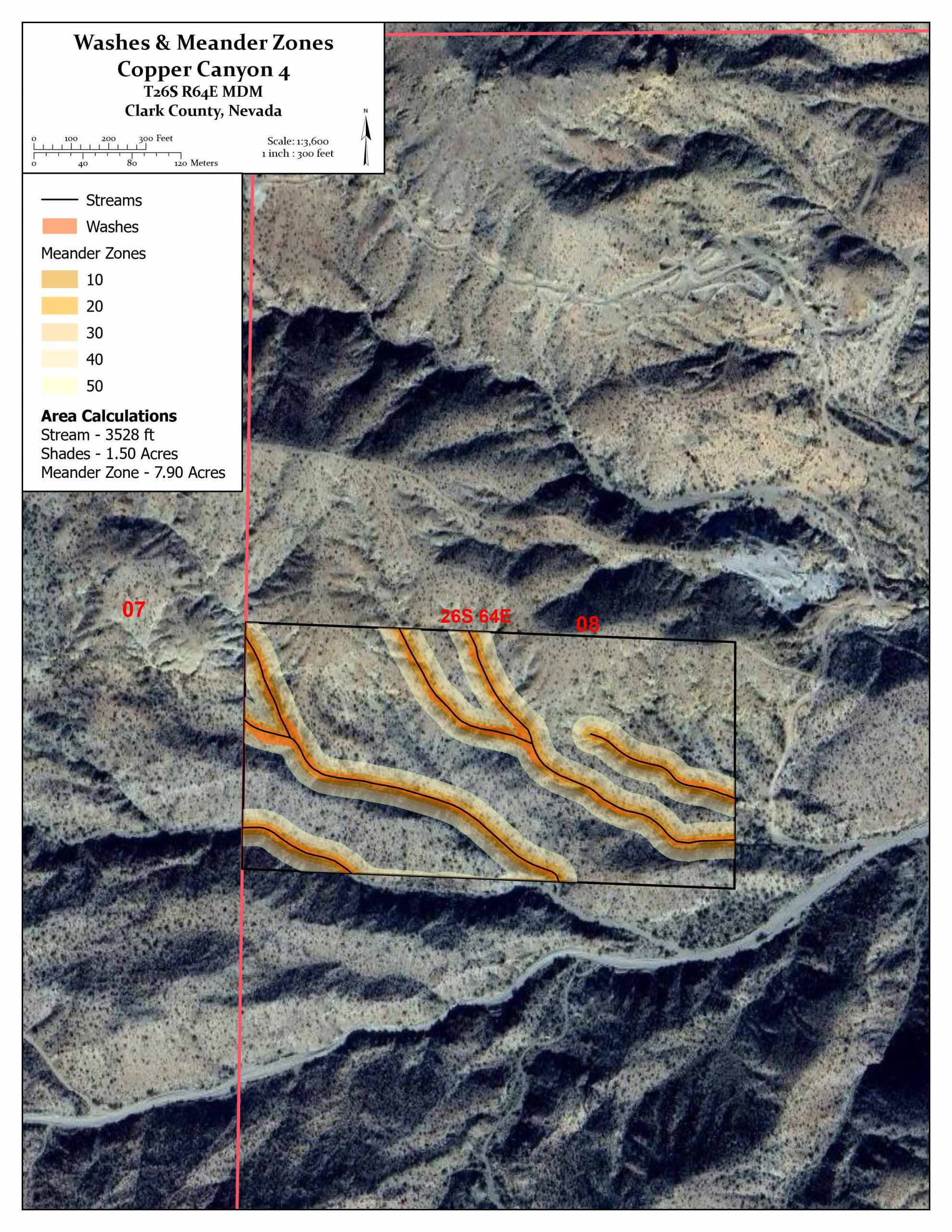
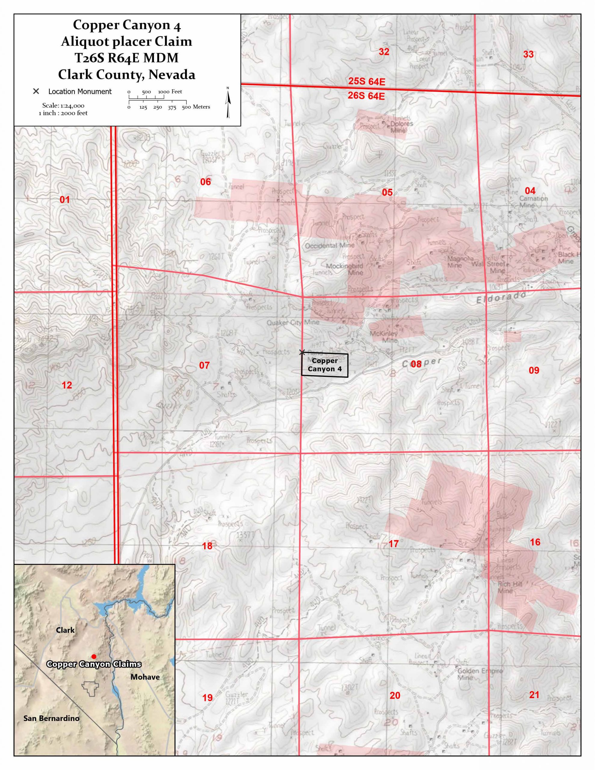
COPPER CANYON 4 PLACER MINING CLAIM
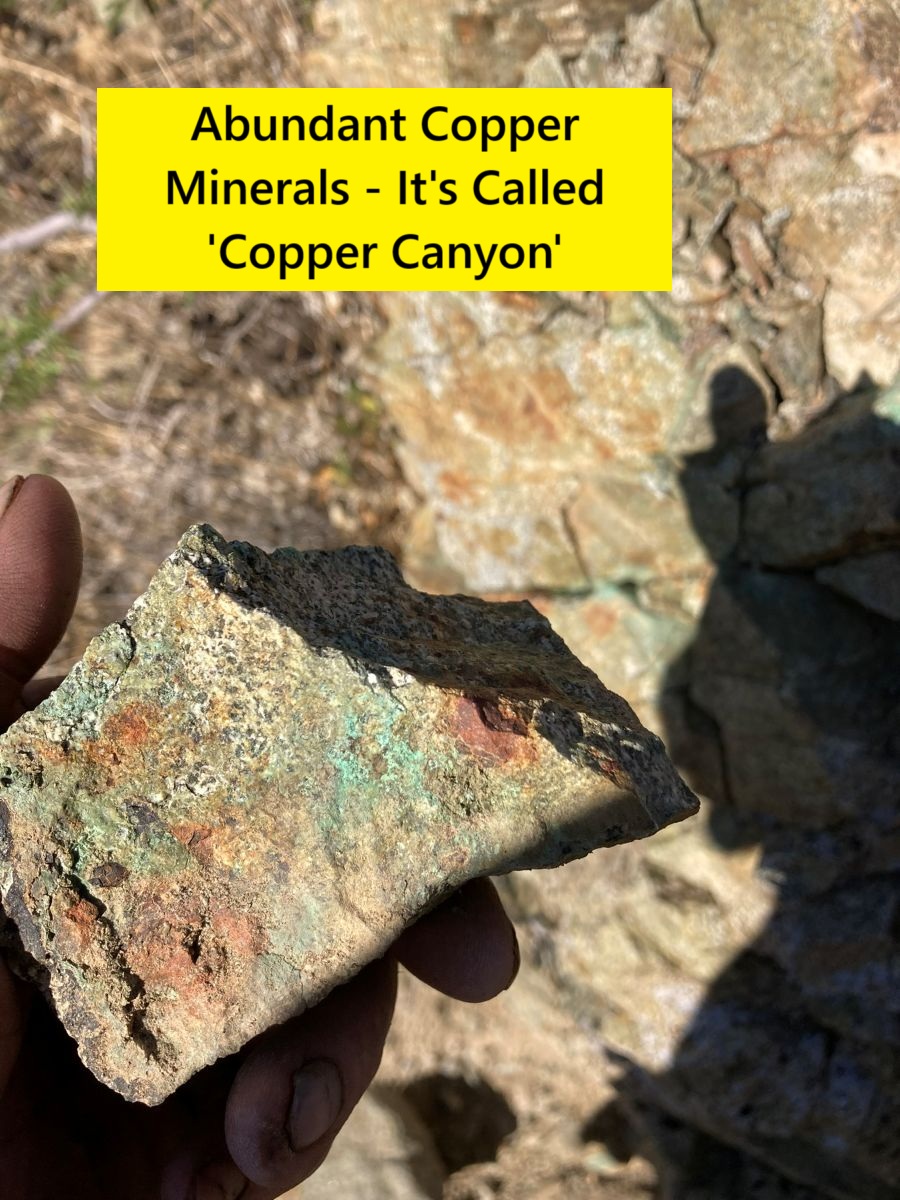
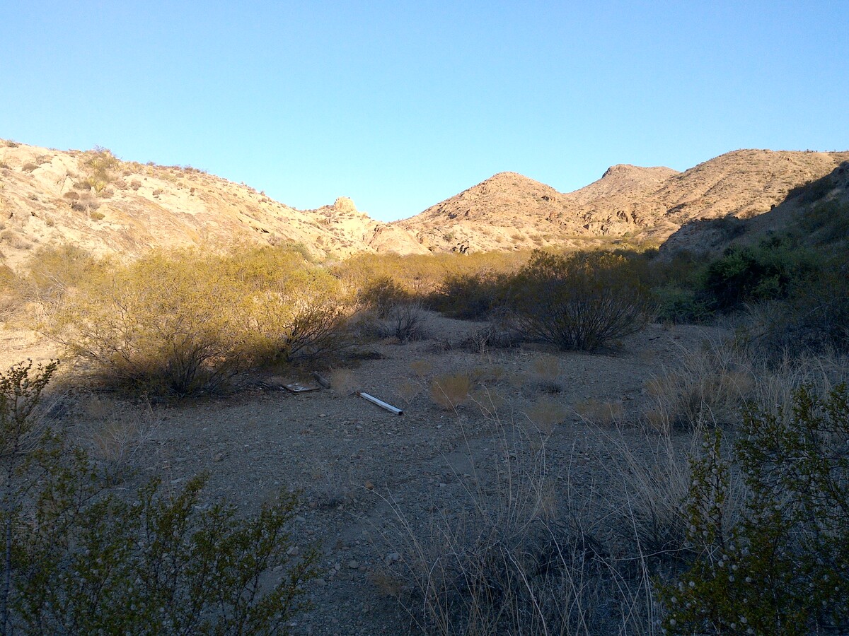
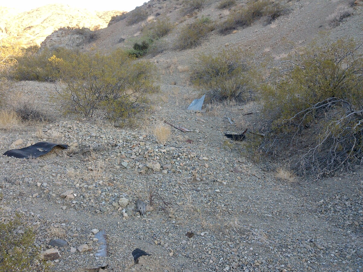
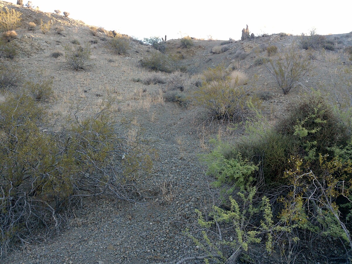
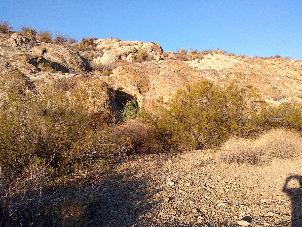
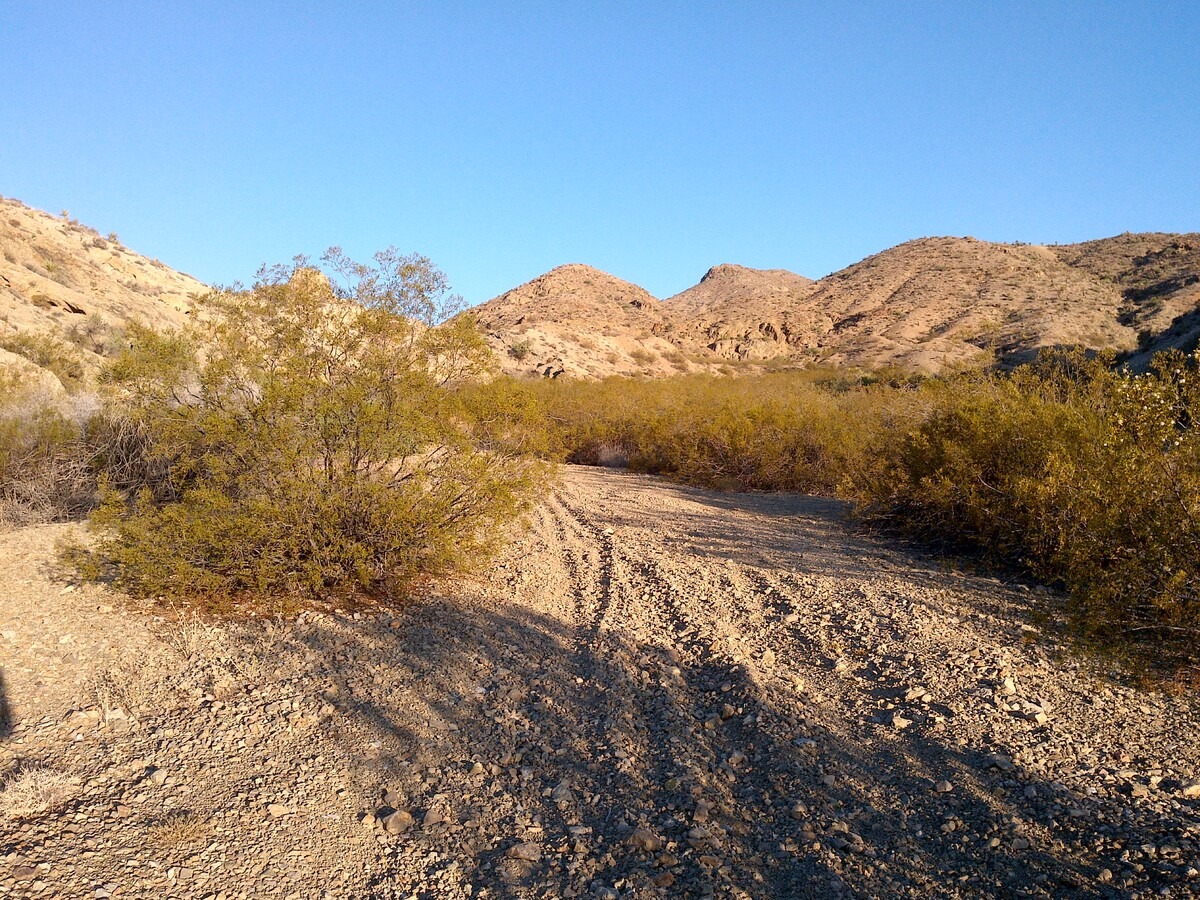
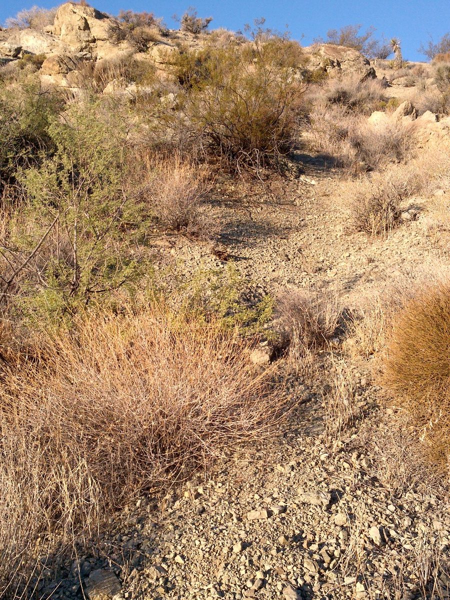
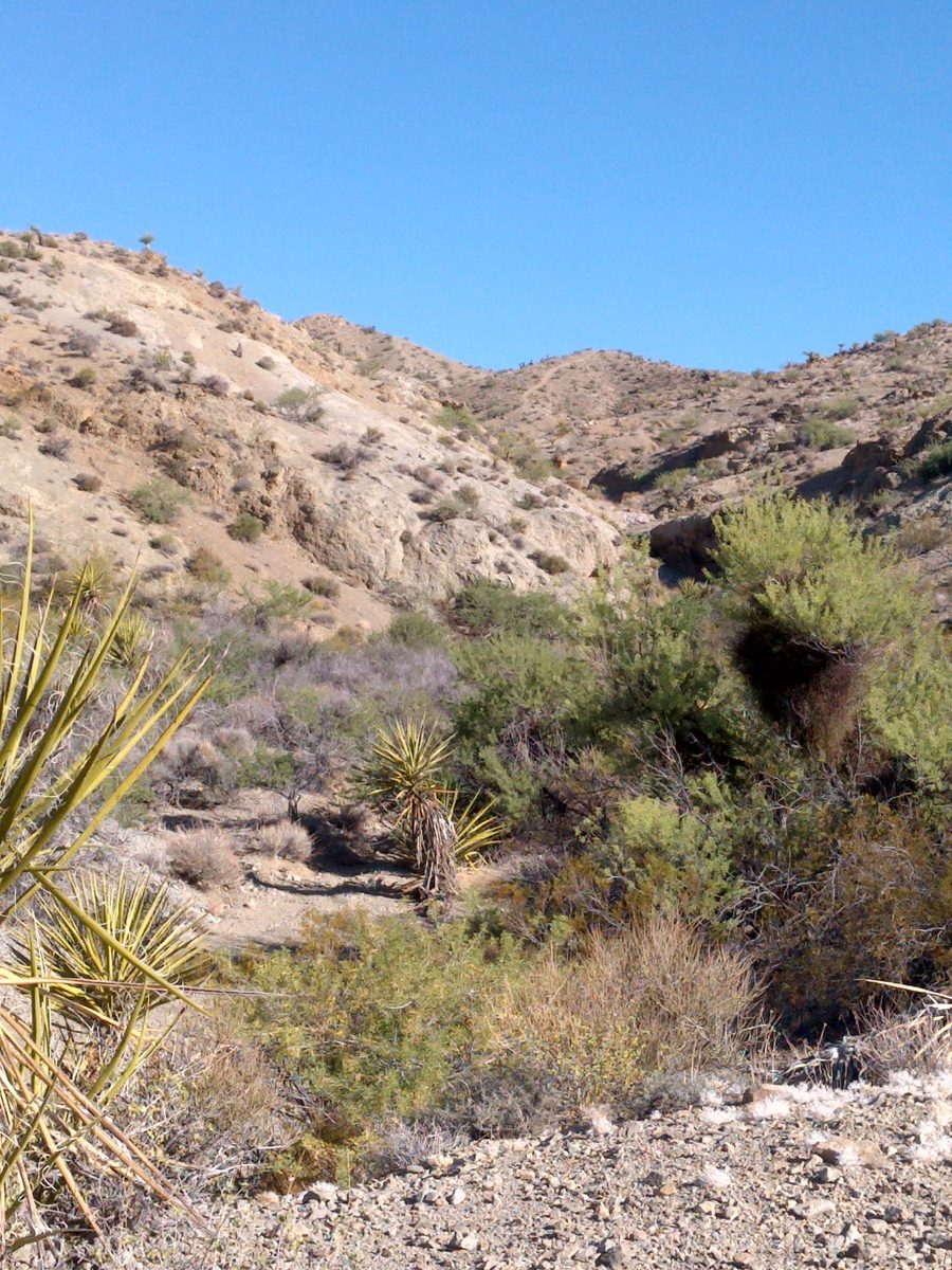
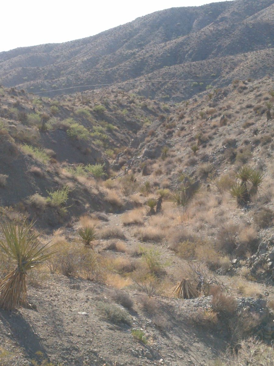
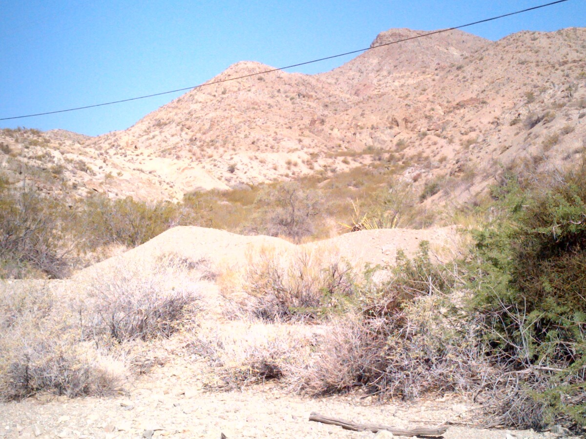
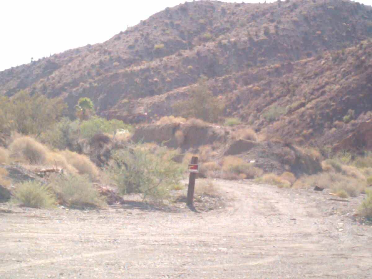
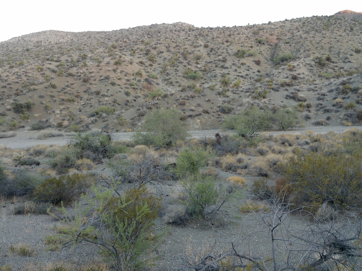
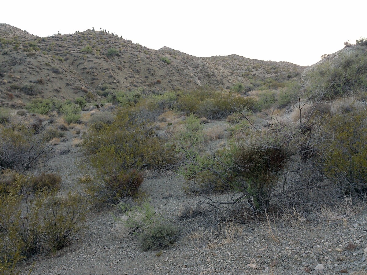
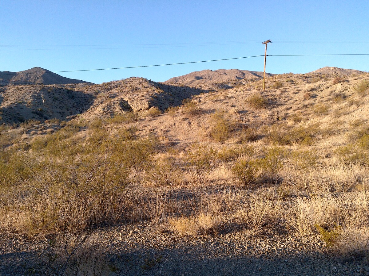
The Coppe Canyon 4 mining claim consists of one (1) unpatented placer mining claim covering 20.66 acres on federal land managed by the U.S. Bureau of Land Management. The Copper Canyon 4 claim is in the Eldorado (Searchlight) District in Clark County, Nevada which is known for gold, silver, lead, zinc, copper, and turquoise.
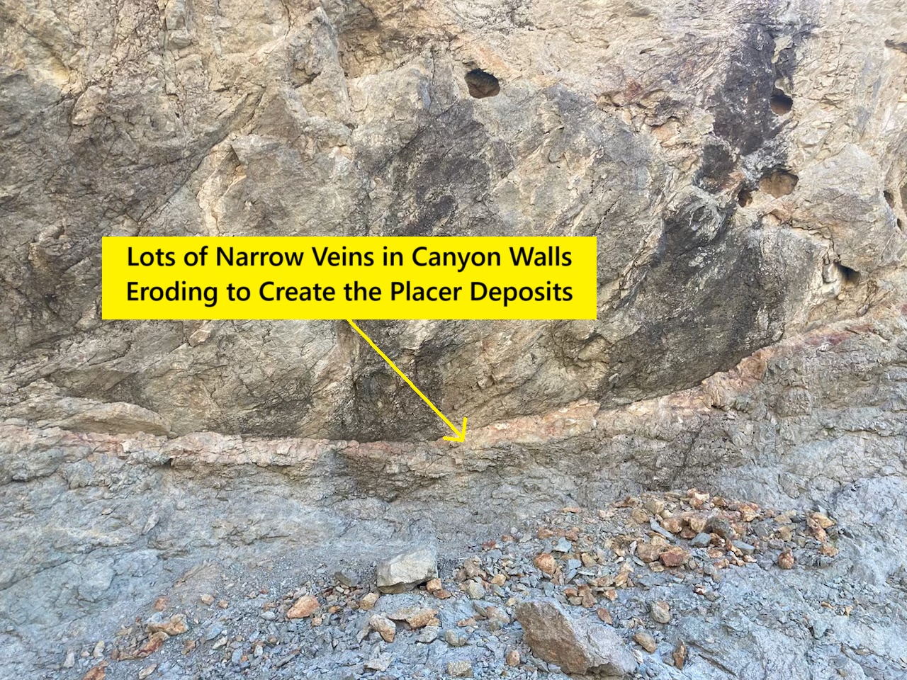
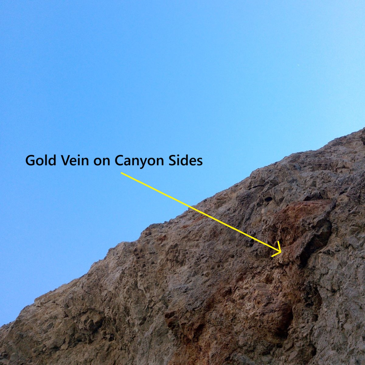
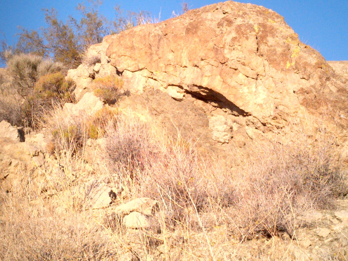
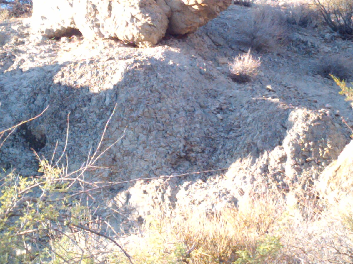
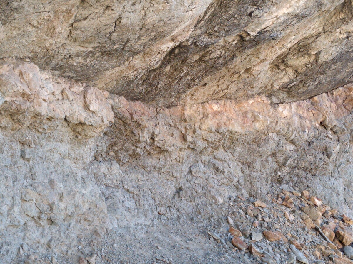
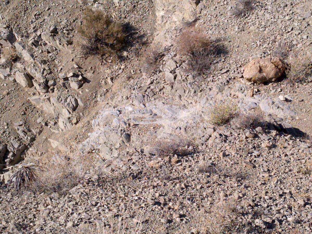
The hillsides contain veins are in heavily altered quartz and easily identifiable. I have taken several other samples nearby and gotten up to .71 ounces per ton gold plus 15-20 ounces per ton silver.
There are historical reports of horn silver in the area that ran 4,000 silver ounces per ton and gold bearing outcrops as high as 20 ounces per ton.
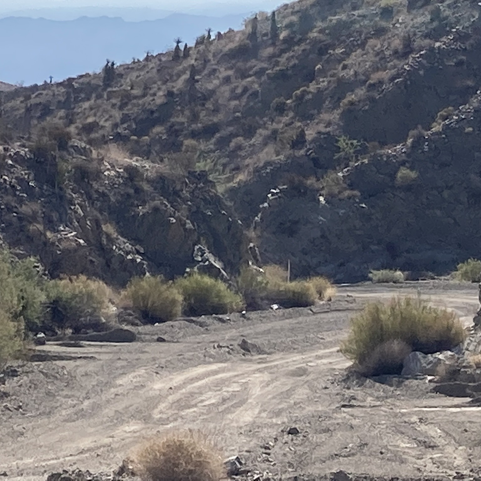
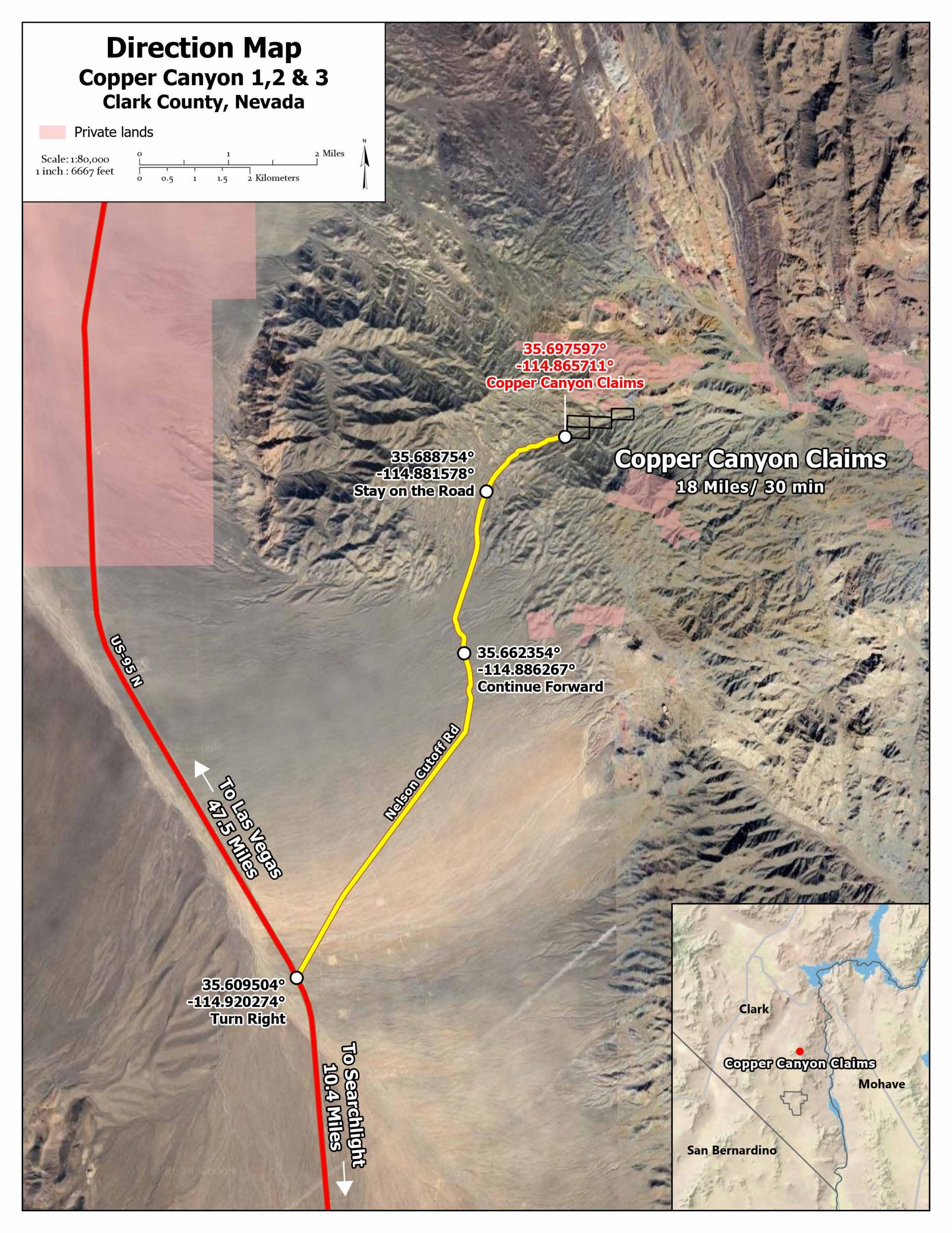
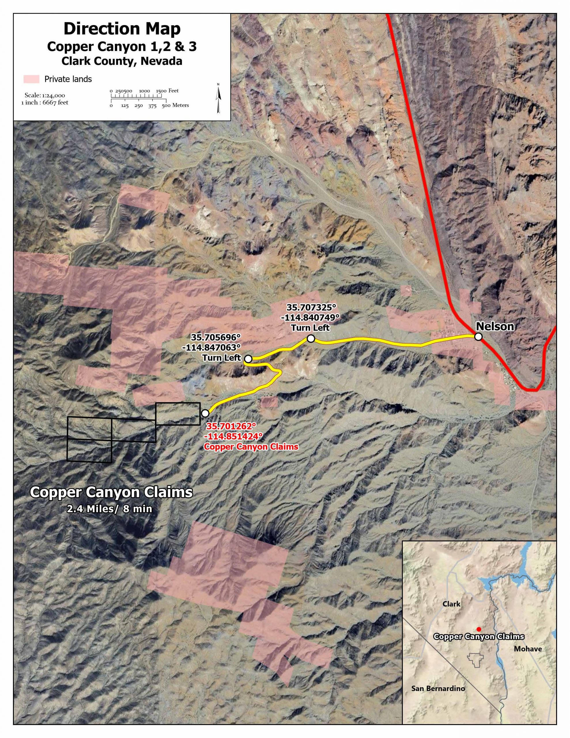
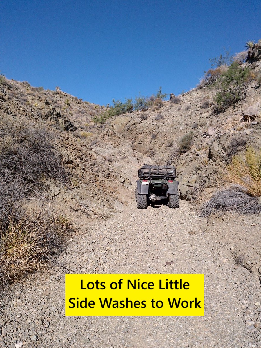
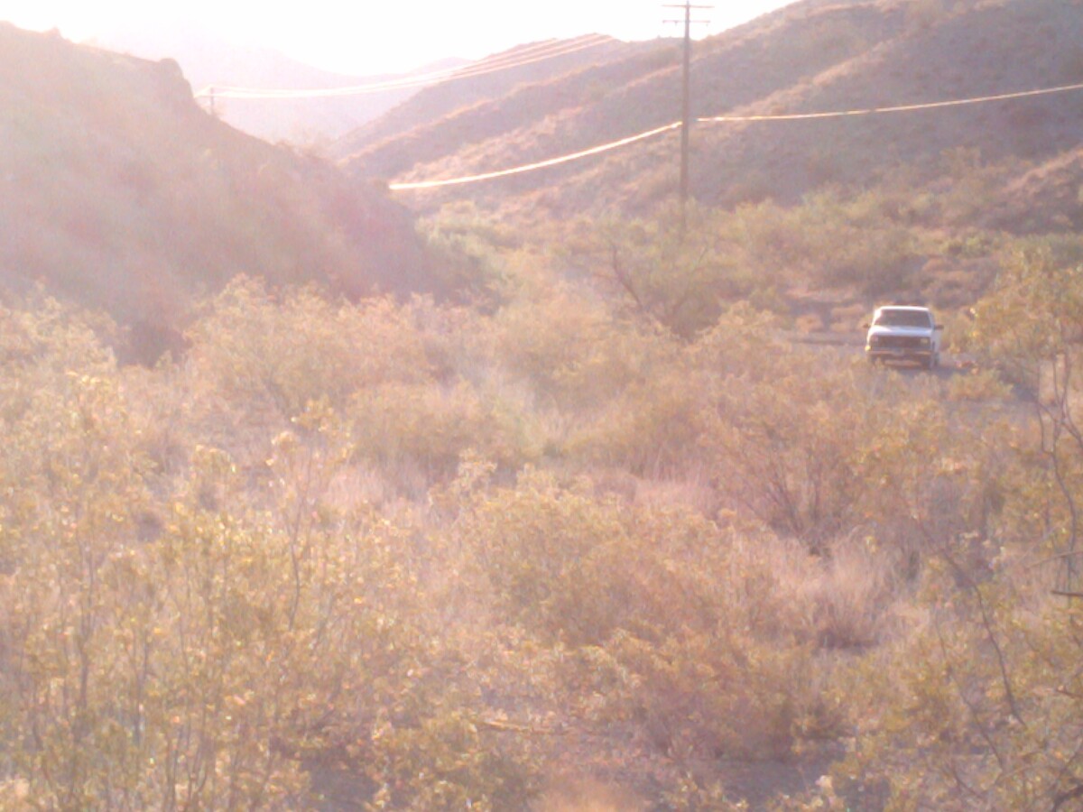
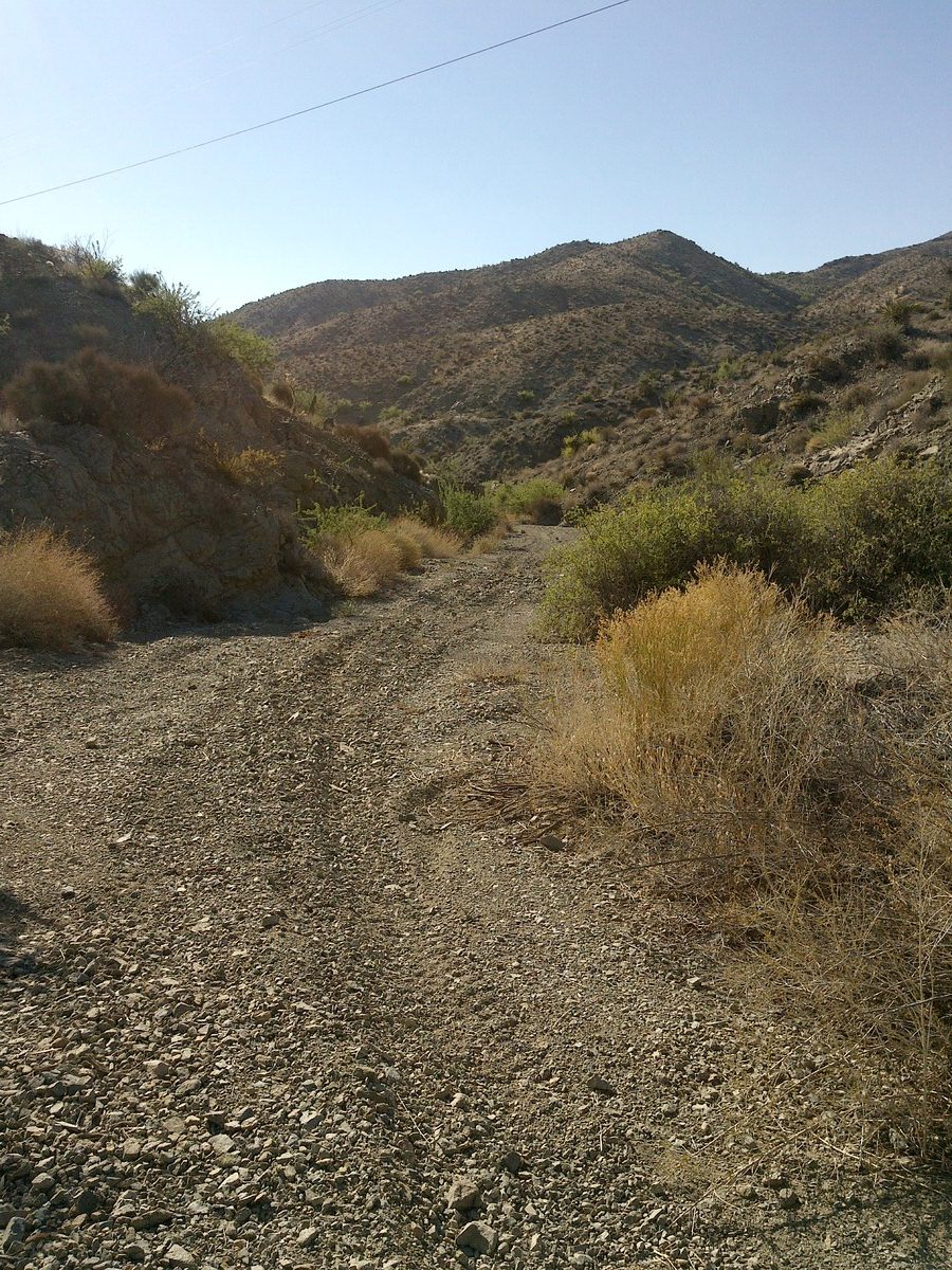
Location and Access: From Las Vegas drive south on US Highway 94 south for 31 miles. Exit to the East on Highway 165 and drive 11 miles to Nelson, Nevada. Drive 2.4 miles on Copper Cache Trailhead to the West directly to the claims.
The Eldorado District is located in Clark County, Nevada about 22 miles north of Searchlight, Nevada. It is sometimes considered as part of the Searchlight District.
The Eldorado District 10 is located in the middle part of the Eldorado Mountains on an east-west striking spur of the mountains. All the mines are located in this 10 mile by 4 mile area.
The Eldorado District was discovered in 1857 with the Techatticup Mine (Paiute for ‘plenty for all’).
The Techatticup Mine was the first mine discovered in the District and its biggest producer. The Techatticup was mined from 1863 to 1885 with intermittent production since then.
The Techatticup had a 15-stamp mill to process the ore and is said to have produced 85,000 ounces of gold equivalent – about one-third of the District total.
The early production of the Techatticup included horn silver with grades of 4,000 silver ounces per ton.
In 1894 a prospectors wandering around the hills southeast of Eldorado Canyon found outcrops which assayed at 20 gold ounces per ton.
Total production in the Eldorado District was $5,000,000 when gold was $20 per ounce. This equates to about 250,000 ounces of production.
During the late 19th Century, Eldorado Canyon was one of the most isolated areas of the country surrounded by desert. Most communication was via river boats on the Colorado River which was only navigable for a few months out of the year.
The area was famous for attracting ‘desperados’ – criminals on the run. There were many incidents of robbery, bullion shipment theft, and unsolved murders.
There were also conflicts between the miners and the native Paiutes and also the local Mormons.
The isolation and hostile environment likely meant this area was underexplored compared to other famous districts and after the end of World War II – high grade underground gold mines were not in favor and the gold price was set artificially low – making it economically unattractive.
As mentioned, there is a 294 page Phd Thesis written on the Eldorado District with voluminous information on the history and geology of the mines including maps, cross-sections, assays, etc. I have a digital copy of this and will make it available to the winning bidder.
The Searchlight District to the south was discovered in 1897 on the Searchlight claim which became the Duplex Mine. Shortly thereafter, a discovery was made at the Quartette Mine which became the biggest producer in the district. Mills were built on site when water was discovered.
The Searchlight mining boom peaked in about 1907. The town boasted 44 working mines, a dozen saloons, several mills, and a population of 5,000.
In 1908 a turquoise weighing 320 carats was found in the district and valued at $2600 ($72,000 in today’s dollars). The Simmons Mine, a significant turquoise producer, is to the west of Searchlight in the Crescent District. Small turquoise prospects are found throughout the district.
The Searchlight District was in continuous production from 1902 to 1954. Records indicate that 581,014 tons of ore was produced in this timeframe yielding 246,991 ounces of gold, 219,596 ounces of silver, 650,550 lbs of copper, and 1,675,560 lbs of lead.
Regional Geology: The Copper Canyon 4 claim is located in the Walker Lane Mineral Belt within the Basin and Range physiographic province. The Basin and Range province covers most of Nevada and consists of narrow NE trending mountain ranges between flat, arid valleys and basins. The Walker Lane mineral belt is an area with a high density of parallel strike-slip faults extending from Reno to Las Vegas roughly along the California- Nevada border. Faulting and volcanic activity make the Walker Lane favorable for hosting gold and silver deposits including some of the most famous precious metal mining districts in the US including the Comstock, Goldfield, Tonopah, Bullfrog, Mineral Ridge, and Round Mountain.
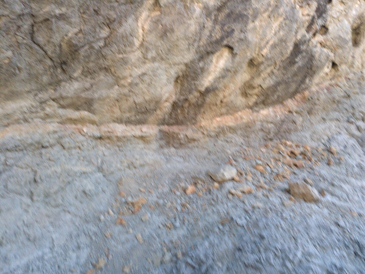
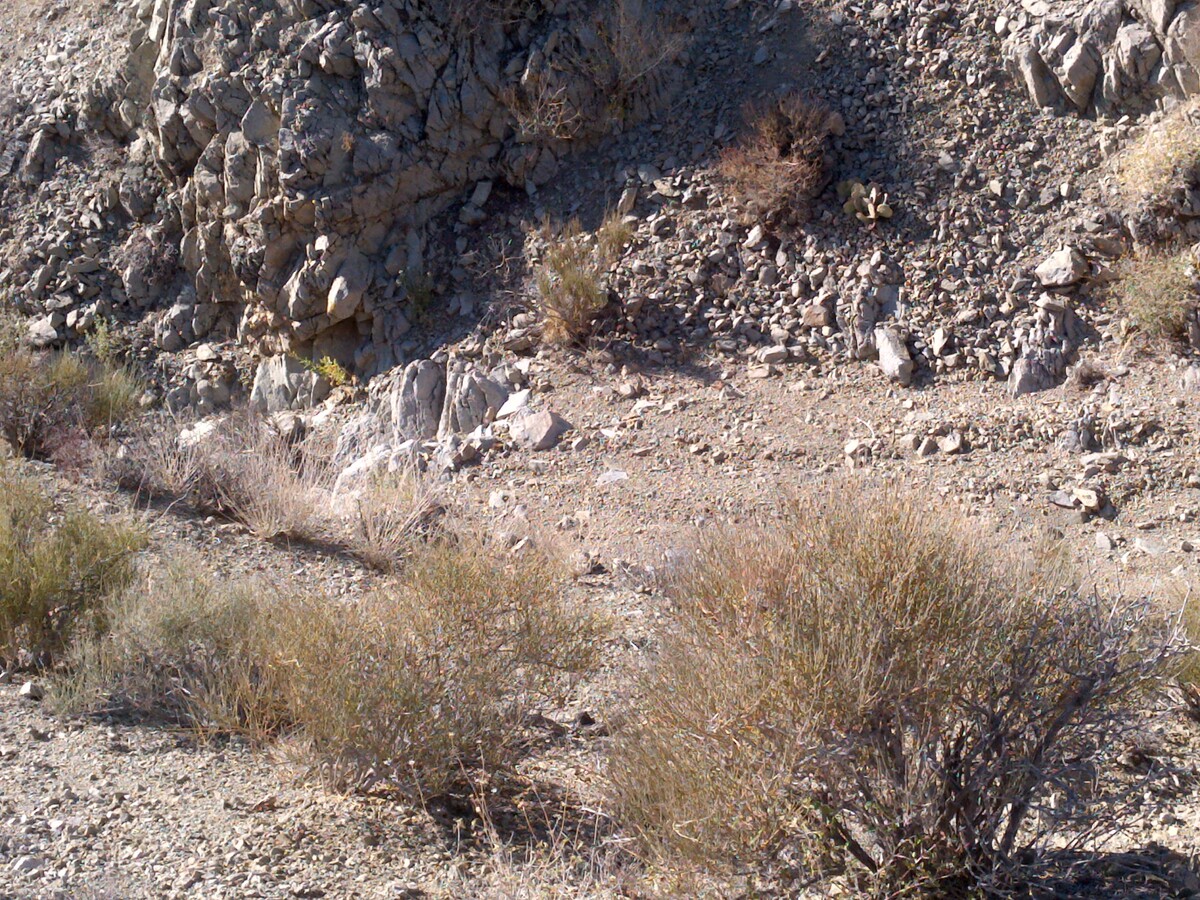
Local Geology: The District consists of pre-Cambrian schists and gneisses which are intruded by quartz-monzonite and Tertiary volcanics. Ore bodies are found along the east-west orientation of the quartz monzonite along the intrusive-metamorphic contact and along parallel faults and fissures.
The host rocks of the nearby lode deposits are in gneiss and schist host rocks.
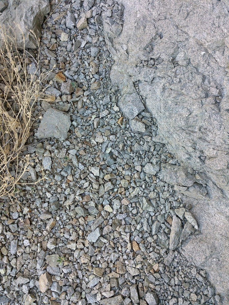
The rocks around the veins are propylitically altered (green color, usually in secondary alteration zone).
There are visible sulphides and crystals of pyrite and galena in or near the vein.
The faults and vein orientation in the Techatticup Mine vicinity generally runs east-west.
Available Reports:
Baker III, Arthur, ‘Scouting Report of the Eldorado (Nelson) District, Clark County Nevada’, Nevada Bureau of Mines, 1962.
Hansen, Spenst M., ‘The geology of the Eldorado Mining District, Clark County, Nevada’, Doctoral Dissertation, University of Missouri, 1962.
Lincoln, F.C., ‘Mining Districts and Mineral Resources of Nevada’, Nevada Publications, Reprint of 1923 Version, Published by Stanley Paher, 1982.
Longwell, C.R., Pampeyan, E.H., Bowyer, B., Roberts, R.J., ‘Geology and Mineral Deposits of Clark County, Nevada’, Bulletin 62, Nevada Bureau of Mines and Geology, Mackay School of Mines, University of Nevada, Reno, 1965.
Ransome, F.L., ‘Searchlight and Eldorado Districts’, Excerpt from USGS Bulletin 303, 1907.
Smith, P.L, Tingley, J.V., ‘Searchlight District Summary’, Nevada Bureau of Mines and Geology, 1983.
FAQ
Why Nevada?
Nevada is consistently ranked as one of the top mining jurisdictions in the world for being mining-friendly and continuing to produce major discoveries. If Nevada was a country it would be the 6th largest gold producer in the world (after Australia, Canada, China, and Russia). Nevada is home to the Carlin Trend, the Cortez Trend, the Walker Lane Trend, the Getchell Trend and many other prolific gold producing regions. In addition to gold Nevada also has major mines producing silver, copper, lithium, iron ore, magnesium, gems and many other minerals. Nevada is 85% owned by the federal government and most of this land is available for claim staking. This means some of the best mining ground in the world is open to small prospectors – a very unique situation. There are many mining companies active in Nevada and therefore, multiple potential buyers for any discovery you make. Canadian based junior exploration companies are particularly active in Nevada.
Why Buy a Claim?
Buying a claim is a great way to get started in mining and prospecting. Buying a claim that is professionally staked reduces your upfront work and the risk of making a mistake on your paperwork or in the field. Our claims are in areas with historical mining activity and most have numerous pits, shafts, and adits to explore. Finding these claims takes lots of research that is already done for you. The best place to find gold is where people have already found it!
Why Us?
I have been working in mineral exploration in the southwestern United States and Alaska for 21 years. I have co-founded four junior mining companies and managed numerous drilling and exploration projects. I have worked with large and small mining companies and know what types of projects they are looking for that can be advanced by small prospectors. I have also worked on small hardrock production projects. I usually try to find claims that have known high grade veins that can be produced and that also have some exploration upside. We stand by our claims and fix any problems that come up. We can also help you with your annual filings. We hire the same professional claim staking companies that the large mining companies hire and all the claims have professionally drafted and accurate maps.
How is ownership of the claim transferred?
Ownership of mining claims is transferred with a Quitclaim Deed which we prepare. We pay all claim transfer fees and file the claim transfer paperwork with the BLM and Clark County. The BLM takes about 2-3 weeks to process the claim transfer and register the claim in your name. The Clark County Recorder usually takes 1 week to return the recorded Quitclaim Deed. Once the transfer is complete we will send you all the original documents including the file stamped Quit Claim Deed, the original location notices and claim maps.
How Much are the Annual Claim Fees?
The BLM charges a $200 per claim annual maintenance fee which is due on September 1st each year. The BLM fees can be paid online through their claim management portal. Clark County requires that a Notice of Intent to Hold form is filed the first year by Nov 1st along with payment of the recording fee of $12 plus $12 per claim.
If you own less than 10 mining claims you can qualify for a waiver of the annual maintenance fee by filing a Small Miner’s Waiver. However, the Small Miner’s Waiver requires that you perform $100 in labor or improvements on the claim each year.
International Buyers
International buyers must either have dual US citizenship and US address or have a US entity or company to own the claim.