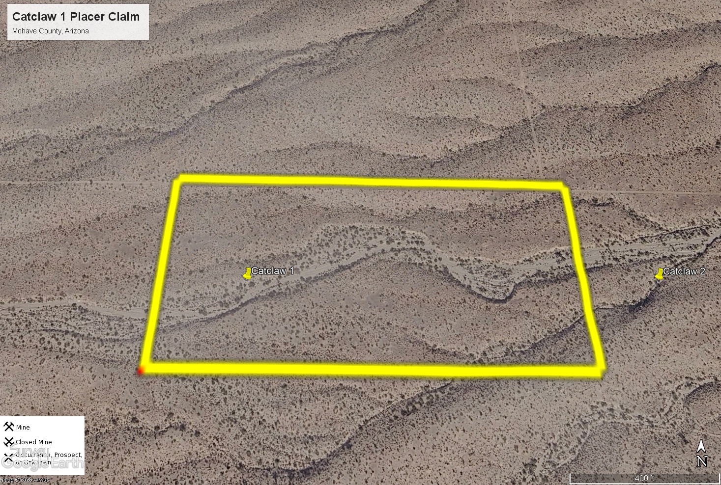
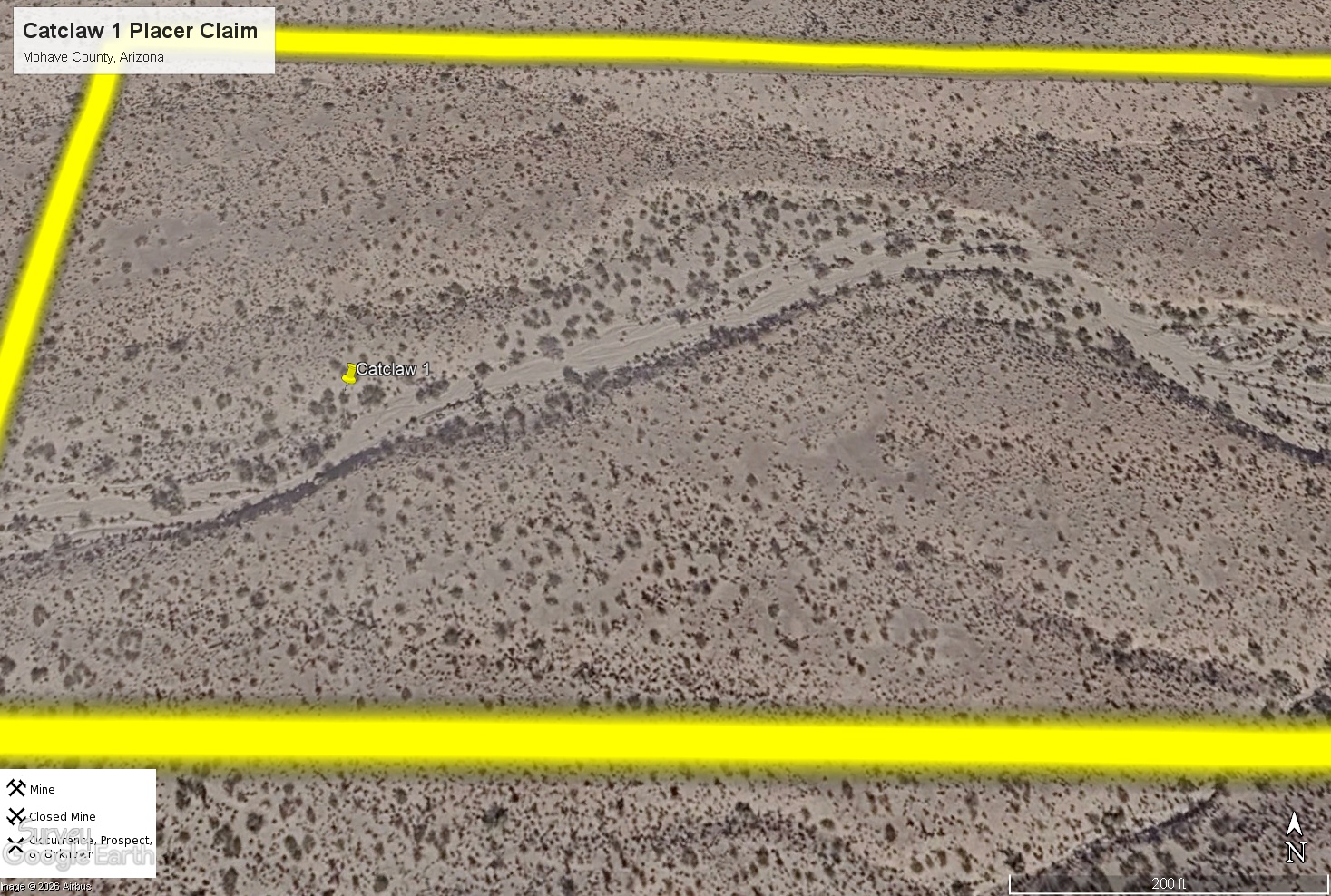
Catclaw 1 Placer Mining Claim
The Catclaw 1 placer mining claim covers 20 acres on federal land managed by the U.S. Bureau of Land Management. The claim is located in the Gold Basin side of the broader Gold Basin–Lost Basin mining region in Mohave County, Arizona. The claim lies within the historic Gold Basin–Lost Basin mining camp, where lode-gold discoveries date to the 1870s and placer mining became important in the 1930s.
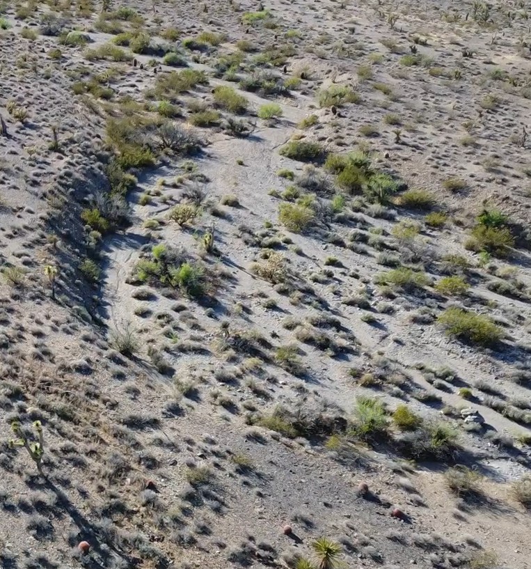
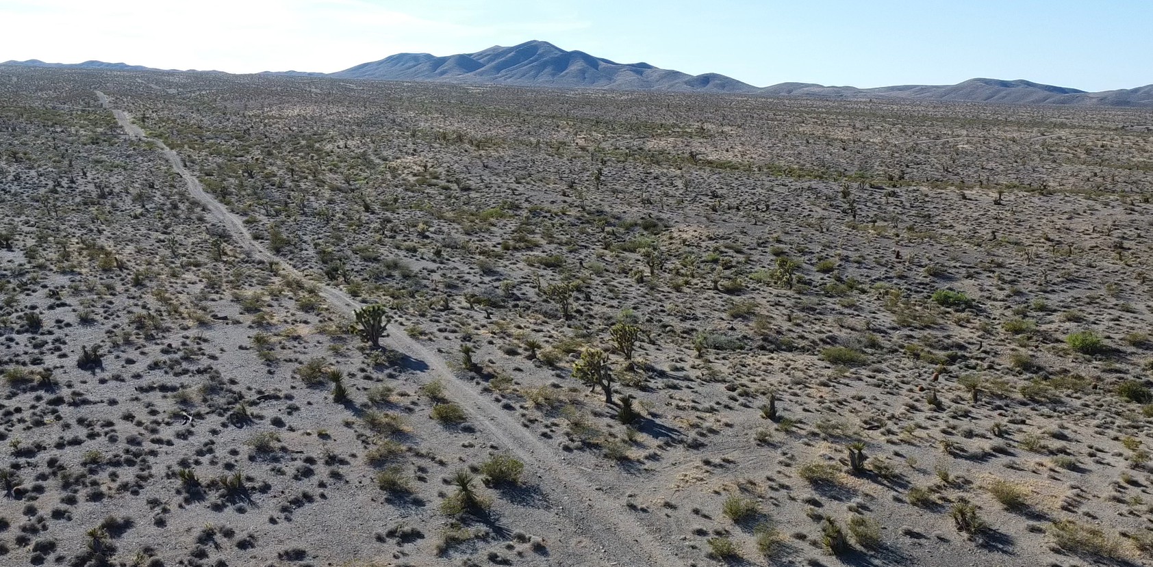
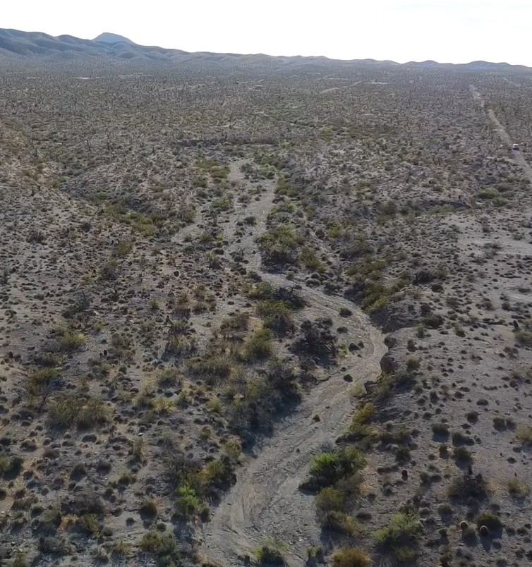
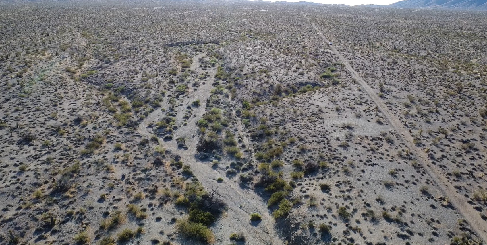
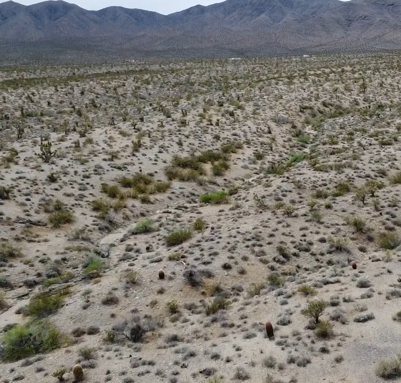
The Catclaw 1 claim is part of a west-to-east wash system that runs between White Elephant Wash and Hualapi Wash. The main wash at Catclaw 1 runs the length of the claim. There are several side washes and gulches to prospect as well.
Gold Basin is one of the better-known placer districts in Mohave County, with placer gold occurring in arroyos and gulches cut into older fan gravels and cemented horizons. Historic descriptions of the district note that Gold Basin gravels occur on the large detrital fan east of the White Hills and are traversed by White Elephant Wash and its tributaries. The gravels in Gold Basin were reported to contain fine to coarse gold in erratically distributed streaks and channels, rather than in one uniform blanket.
The broader Gold Basin-Lost Basin district has a long record of mining and prospecting. Early hardrock production established the camp in the late nineteenth century, and later placer work confirmed that gold was widely distributed in the gravels and washes.
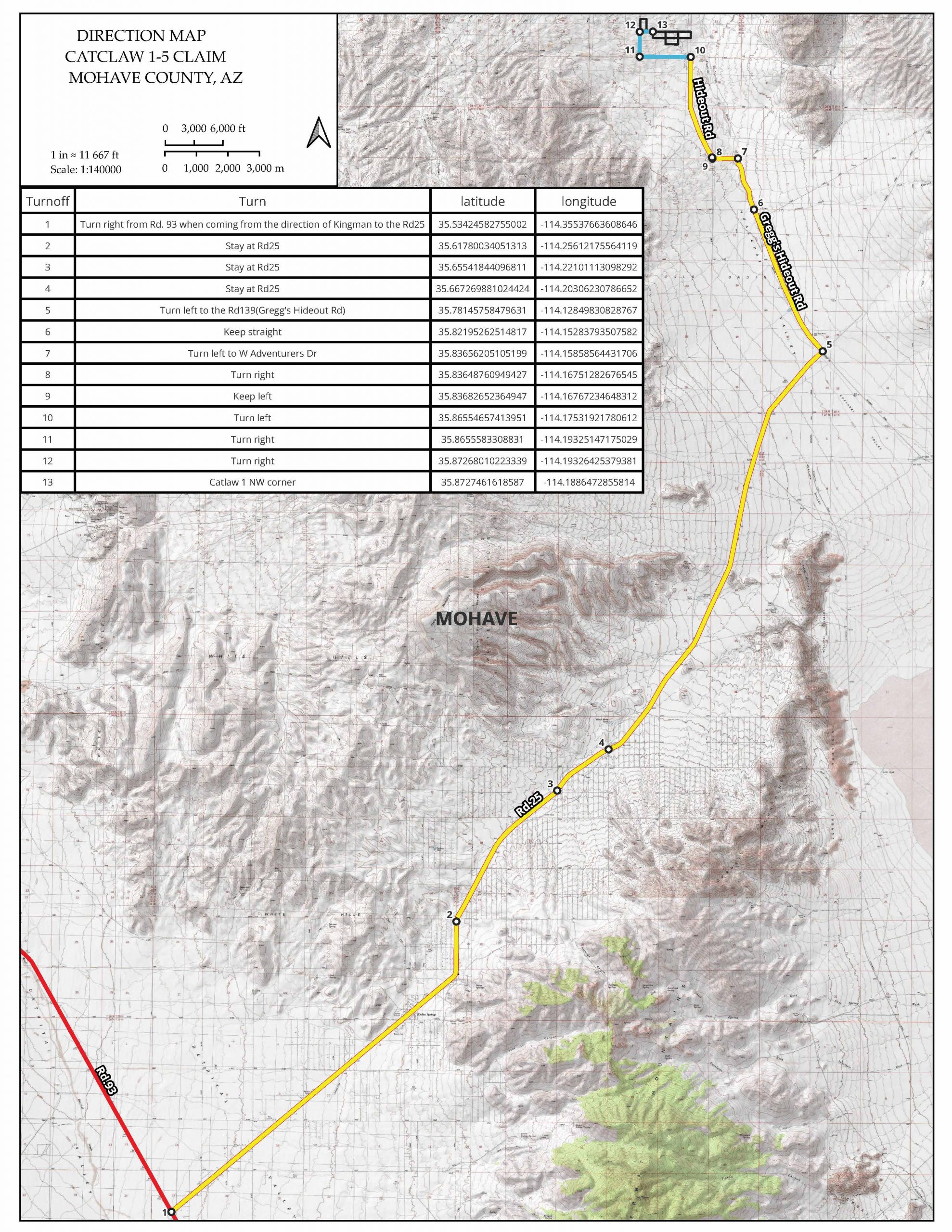
Location and Access
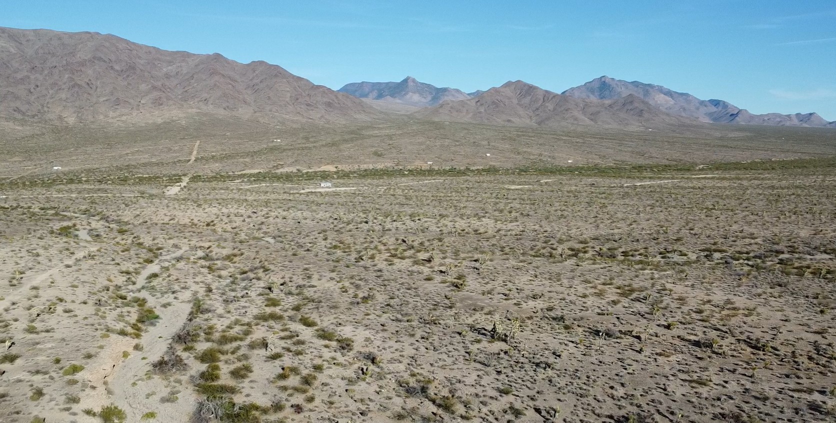
From Kingman, Arizona, drive north on U.S. Highway 93 for about 29 miles and turn onto Pierce Ferry Road. Continue generally northeast toward the Gold Basin area for roughly 22 miles. Turn left onto Greg’s Hideout Rd and drive for 9 miles. The claim is just west of the intersection of Hideout Road and Catclaw Drive.
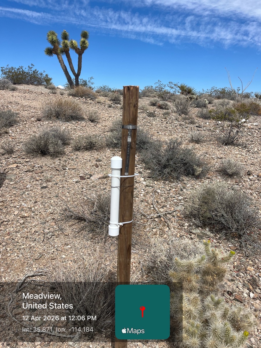
GPS Coordinates: Lat: 35.871978° Long: -114.186737° (Central Wash)
Mining and Exploration Potential
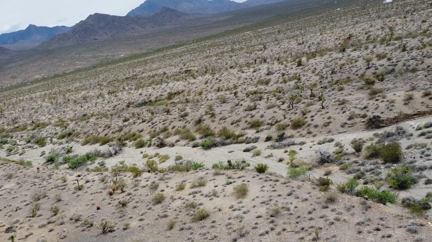
The Catclaw 1 placer gold claim has potential for placer gold in shallow arroyo gravels, on or above caliche-cemented false bedrock, and in older gravel remnants on benches and low rises. In Gold Basin, historic descriptions report that placer gravels commonly range from 1 to 3 feet thick and rest on cemented gravels. Gold was reported to range from fine particles to coarser fragments, with better values in narrow streaks and channels.
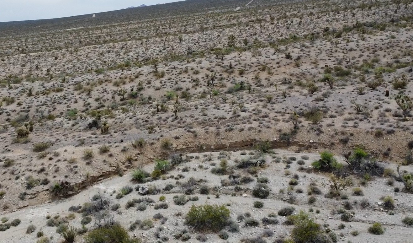
For this claim, the best targets are localized concentrations where erosion has cut into older gold-bearing gravels. Special attention should be given to small washes, gravel bars, breaks in slope, caliche horizons, black-sand accumulations, and shallow benches above the main drainage.
In Arizona placers of this style, gold is often concentrated on false bedrock of caliche-cemented gravels and may also occur in smaller amounts throughout the gravel section.
There is also exploration upside beyond the obvious surface washes. Geological work in the district suggests that some Gold Basin placer gold may have been concentrated by reworking thin caps of older Quaternary gravels resting unconformably on Early Proterozoic gneiss. That means a buyer should think not only in terms of modern drainages, but also in terms of older gravel remnants, shallow pediment surfaces, and subtle paleochannel positions.
This claim is best suited for a hobbyist or small operator willing to do careful field testing with drywashing, metal detecting, and selective scraping or trenching. Like many desert placer claims, the value is likely to be controlled by locating the better pay streaks rather than simply working the easiest-looking surface gravels.
Gold Basin–Lost Basin Mining District
The Gold Basin and Lost Basin districts in northwestern Arizona were first discovered as lode-gold districts in the 1870s. Gold Basin saw its first major period of activity in the early 1880s, when a small boom developed, stamp mills were built, and mines such as the El Dorado, Excelsior, Golden Rule, O.K., and Cyclopic began producing free-milling gold-quartz ore. By 1886, another mill had been built along Hualapai Wash and the settlement of Gold Basin had emerged as the main milling center for the broader camp, including newly discovered veins in Lost Basin. Activity continued intermittently through the early 1900s, especially around the Cyclopic mine, which became one of the district’s principal producers. Placer gold was recovered locally earlier, but the placers were first worked on a significant scale in 1931, about sixty years after the original lode discoveries. The most important placer ground was along the east flank of the Lost Basin Range, especially in the King Tut area, although placer workings also extended into Gold Basin and the west side of Lost Basin. Recorded combined lode production from the two districts between 1901 and 1942 totaled 13,508 ounces of gold and 6,857 ounces of silver, with most lode output coming from Gold Basin and most of the best-known placer production coming from Lost Basin. After 1942, the districts were largely dormant except for small-scale placer mining and intermittent exploration.
Regional Geology
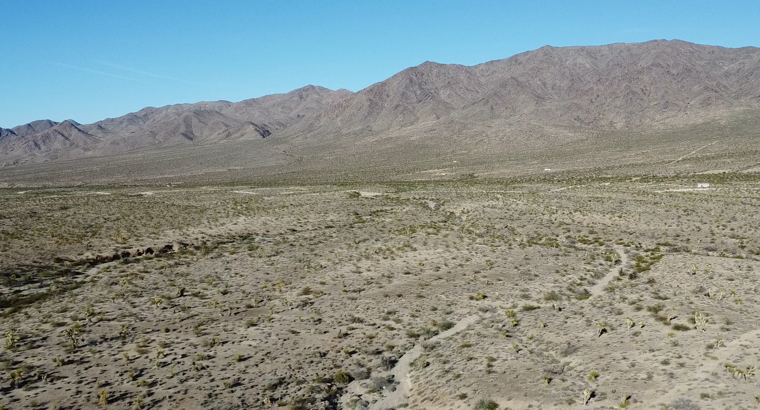
The Catclaw 1 claim lies within the Basin and Range province. In the broader district, lode gold is associated with widespread quartz-cored vein systems emplaced into Early Proterozoic metamorphic and igneous rocks, with much of the important mineralization linked to Late Cretaceous intrusive and structural events. The district also reflects later Basin-and-Range extension and faulting related to the Grand Wash fault zone.
Local Geology
The local placer model for Catclaw 1 is a combination of source and reconcentration. Historic Gold Basin descriptions state that the likely source of the placers is numerous small gold-quartz-carbonate-sulfide veins in Precambrian rocks. More detailed later work in the broader district suggests that some placer gold was then reconcentrated by erosion and reworking of older gravels.
Lost Basin research is also useful here because it shows the regional style of placer development in this camp. On the Lost Basin side, the best placer concentrations formed where present-day washes cut older gold-bearing gravels and fanglomerates, commonly above caliche-cemented false bedrock. Those placers produced angular nuggets and heavy-mineral-rich concentrates, reinforcing the idea that the broader camp is favorable for both fine gold and nuggets where erosion intersects older auriferous gravel packages.
Available Reports
Johnson, M.G., Placer Gold Deposits of Arizona, U.S. Geological Survey Bulletin 1355, 1972.
Theodore, T.G., Blair, W.N., and Nash, J.T., Geology and Gold Mineralization of the Gold Basin-Lost Basin Mining Districts, Mohave County, Arizona, U.S. Geological Survey Professional Paper 1361, 1987.
Lost Basin Gold Placers, Mining, Geological and Environmental Services, October 1, 2007.
FAQ
Why Arizona?
Arizona is consistently ranked as one of the top mining jurisdictions in the world for being mining-friendly and continuing to produce major discoveries. Arizona is the largest metal mining state in the U.S. and home to many world class copper mines including Morenci, Bagdad, Sierrita, Ray, and Resolution. Arizona also has numerous gold mines and some of the biggest silver-lead-zinc discoveries (Taylor Mine). Arizona is world famous for turquoise and other semi-precious stones and lapidary materials – often found near copper mining areas. Arizona is 38% owned by the federal government and most of this land is available for claim staking. This means some of the best mining ground in the world is open to small prospectors – a very unique situation. There are many mining companies active in Arizona and therefore, multiple potential buyers for any discovery you make. Canadian based junior exploration companies are particularly active in Arizona.
Why Buy a Claim?
Buying a claim is a great way to get started in mining and prospecting. Buying a claim that is professionally staked reduces your upfront work and the risk of making a mistake on your paperwork or in the field. Our claims are in areas with historical mining activity and most have numerous pits, shafts, and adits to explore. Finding these claims takes lots of research that is already done for you. The best place to find gold is where people have already found it!
Why Us?
I have been working in exploration in the southwestern United States and Alaska for 24 years. I have co-founded four junior mining companies and managed numerous drilling and exploration projects. I have worked with large and small mining companies and know what types of projects they are looking for that can be advanced by small prospectors. I have also worked on small hardrock production projects. I usually try to find claims that have known high grade veins that can be produced and that also have some exploration upside. We stand by our claims and fix any problems that come up. We can also help you with your annual filings. All our claims have a BLM serial number and can be found on the U.S. BLM MLRS website database. We hire the same professional claim staking companies that the large mining companies hire and all the claims have professionally drafted and accurate maps.
How is ownership of the claim transferred?
Ownership of mining claims is transferred with a Quitclaim Deed which we prepare. We pay all claim transfer fees and file the claim transfer paperwork with the BLM and Mohave County. The BLM takes about 2-3 weeks to process the claim transfer and register the claim in your name. The Mohave County Recorder usually processes the Quitclaim Deed same day if filed electronically. Once the transfer is complete we will send you all the original documents including the file stamped Quitclaim Deed, the original location notices and claim maps.
How Much are the Annual Claim Fees?
The BLM charges a $200 per claim annual maintenance fee which is due on September 1st each year. The BLM fees can be paid online through their claim management portal.
If you own less than 10 mining claims you can qualify for a waiver of the annual maintenance fee by filing a Small Miner’s Waiver. However, the Small Miner’s Waiver requires that you perform $100 in labor or improvements on the claim each year.
International Buyers
International buyers must either have dual US citizenship and US address or have a US entity or company to own the claim.
Payment
I accept credit and debit cards, cashier’s check, and wire for payments.